
Some good friends of ours called us to join them on a road trip to Vermont. The type of trips they like to do are a bit different, in the sense that they enjoy searching for superlatives around the world. At times, this has been an interesting feat, such as when my best friend dragged me up hundreds of stone steps of the Tower of Hercules, the oldest lighthouse in the world, in Galicia, Spain. I'll leave writing about that for another time, but let's just say they have ambitious goals when they travel. The great thing is they do a ton of research before traveling, so we get to see some very unique things. We left our house in southern Dutchess at about noon. I honestly always figured Vermont would be a much further drive, but parts of it are actually not very far.

The Drive
My friends made a list in order of the bridges we saw that day: three bridges in New York including, Buskrik, Rexleigh, Eagleville, and one in Arlington, VT. At the end, I will give the logistics if you want to find these yourself; we really maximized our time to see many landmarks in one trip.
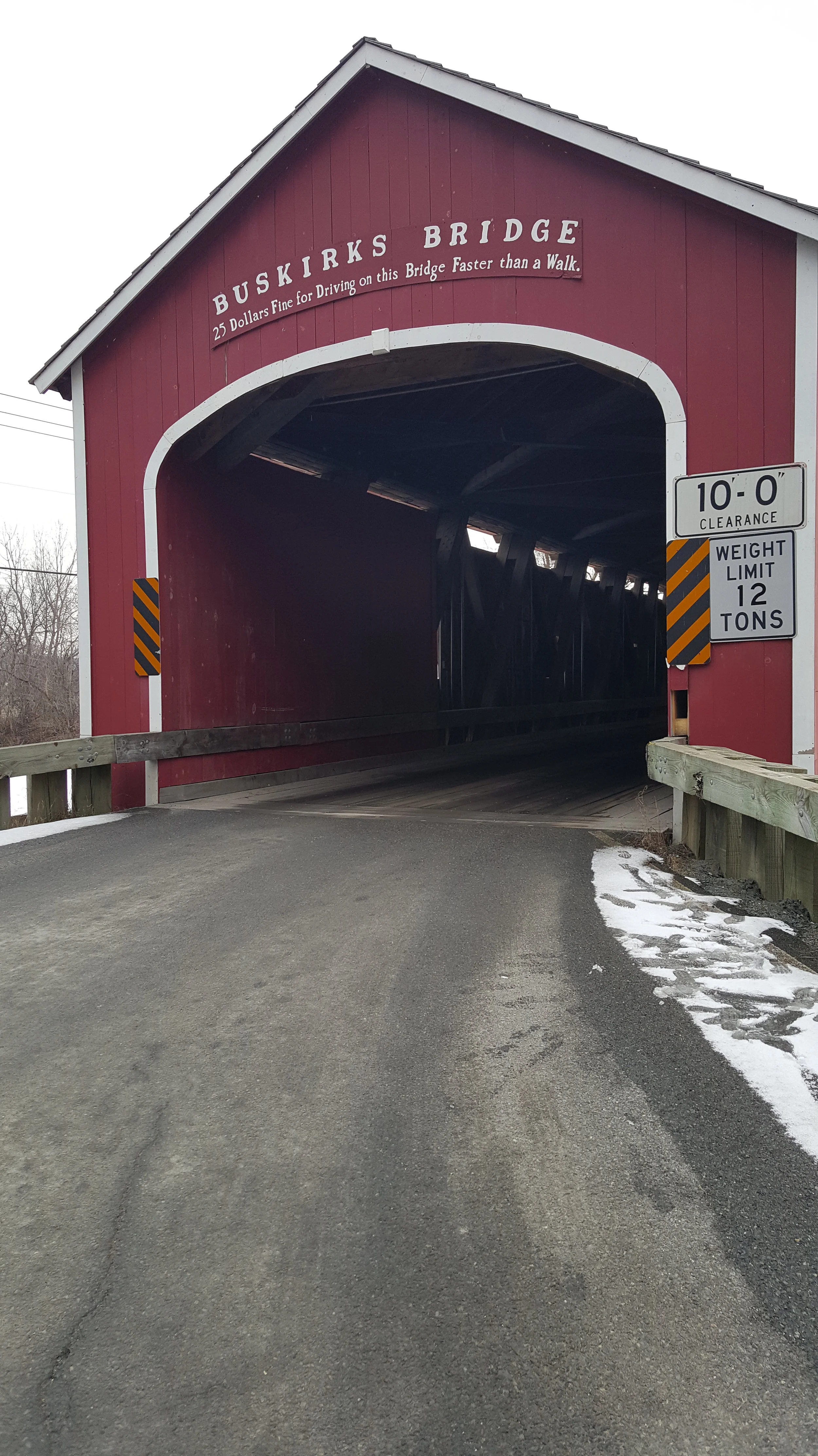
The first bridge was The Buskrik, one of 29 historic bridges in New York,and crosses the Hoosic River. The Buskirk bridge was built in 1857, to give some perspective, that is the same year as the Panic of 1857, the first worldwide financial crisis and Buchanan was president. The Buskrik is notable because it has the earliest surviving Howe Truss design (Buskirk Bridge wiki 2016).
While writing this article, I found myself wondering what average person cares about the history of bridge design and its many intricacies? What I found out is this "Howe Truss" was famous in engineering history because it was the first support structure to use mathematical stress analysis; it used a combination of iron and wood rods, and it would later be adopted for use in railroad bridges (NYS Covered Bridge Society, 2015). As bridge historian Eric DeLony wrote, "The Howe truss may be the closest that wooden-bridge design ever came to perfection. For simplicity of construction, rapidity of erection, and ease of replacing parts, it stands without rival" (DeLony 1994:11). - See more at: https://www.tn.gov/tdot/article/bridges-historybridges#sthash.GDVcPEWr.dpuf
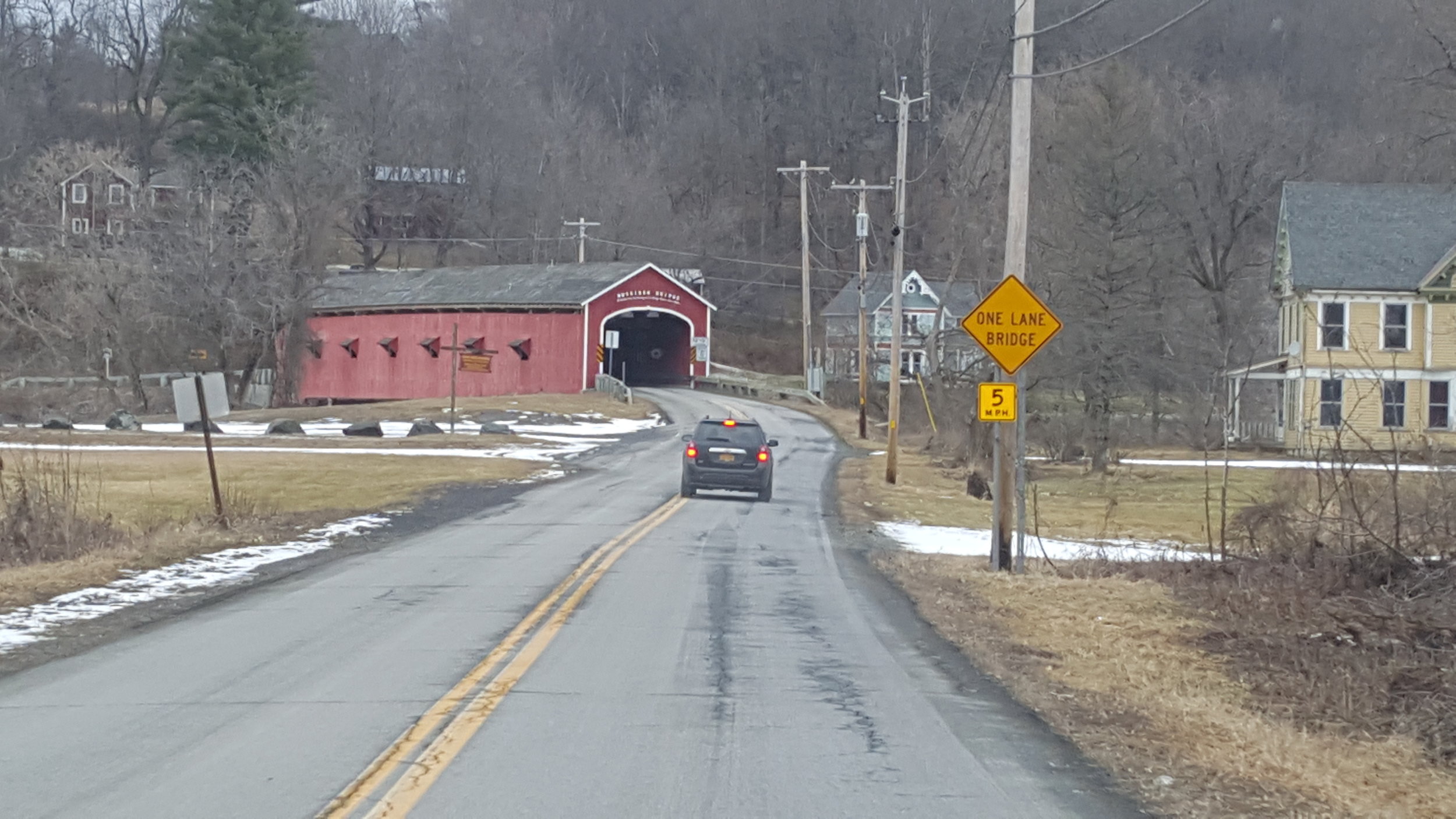
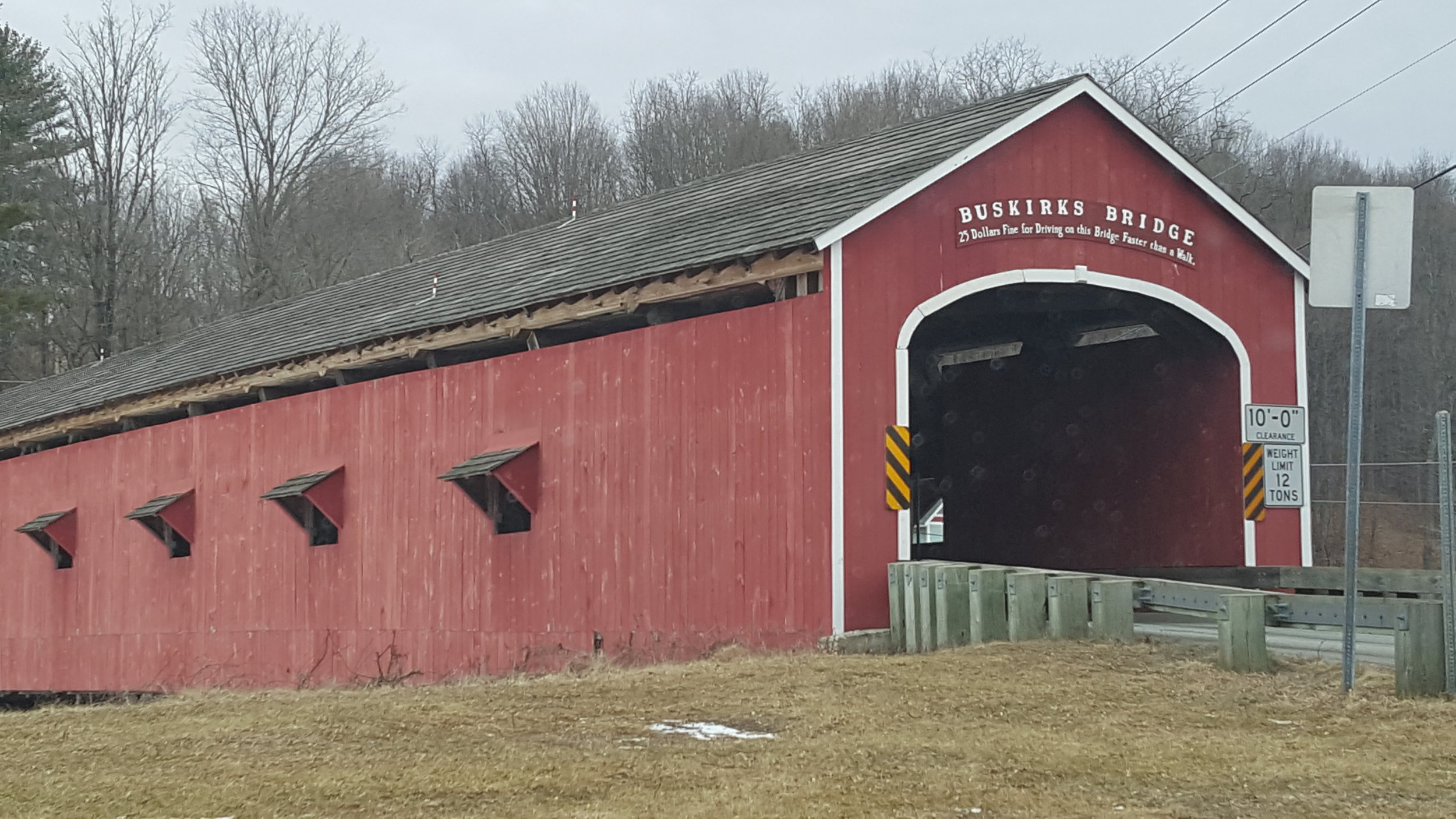
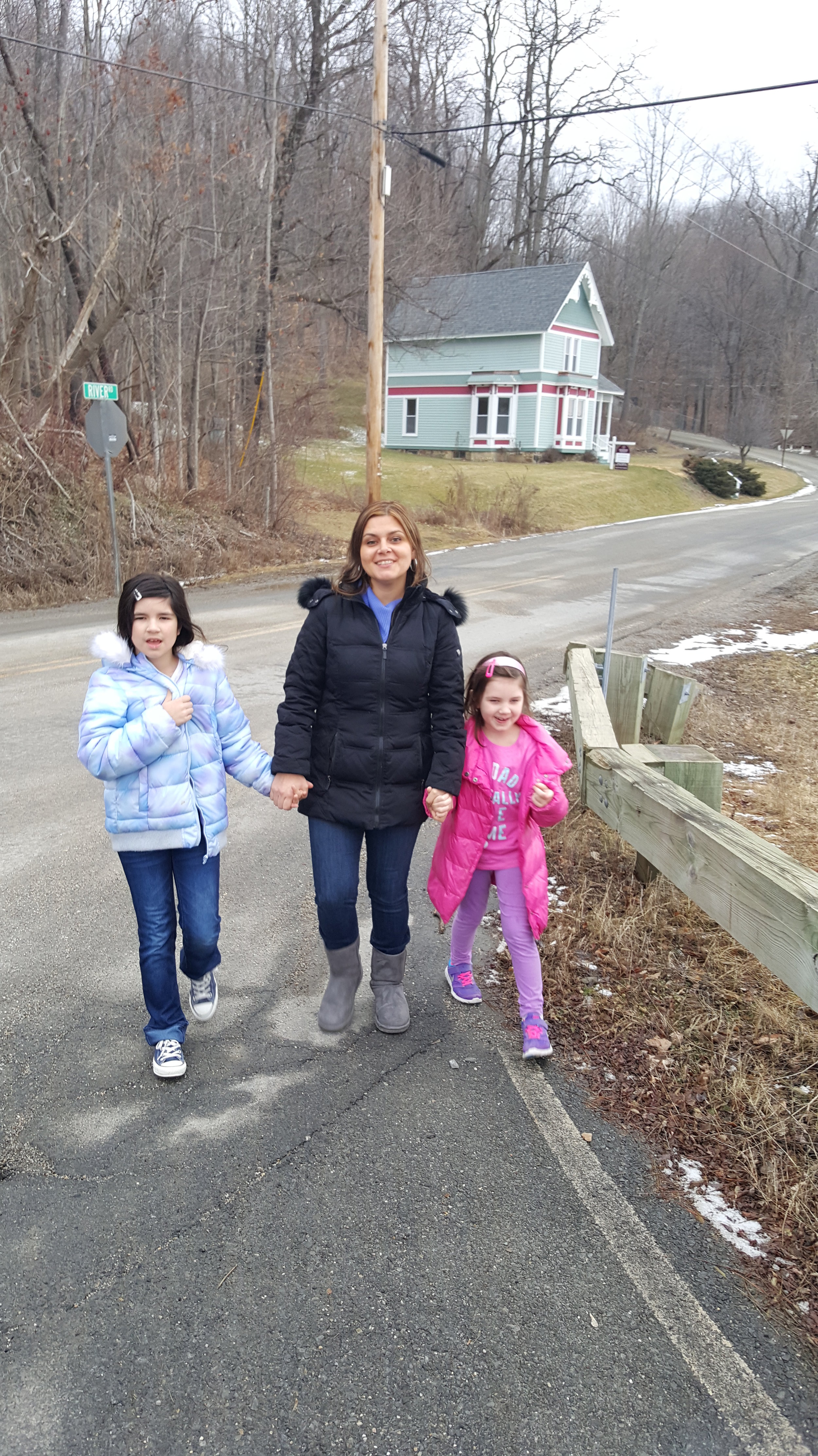
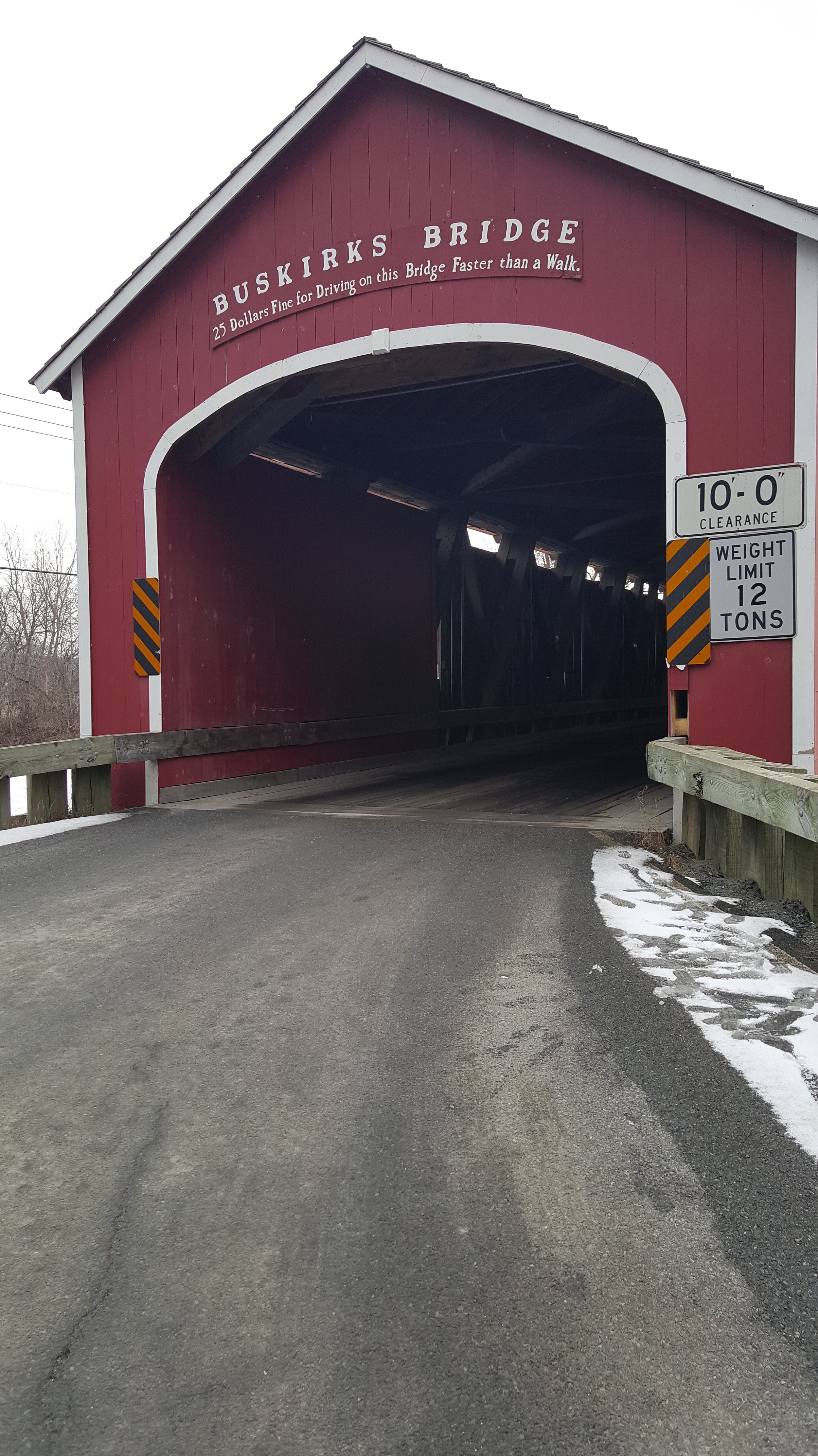
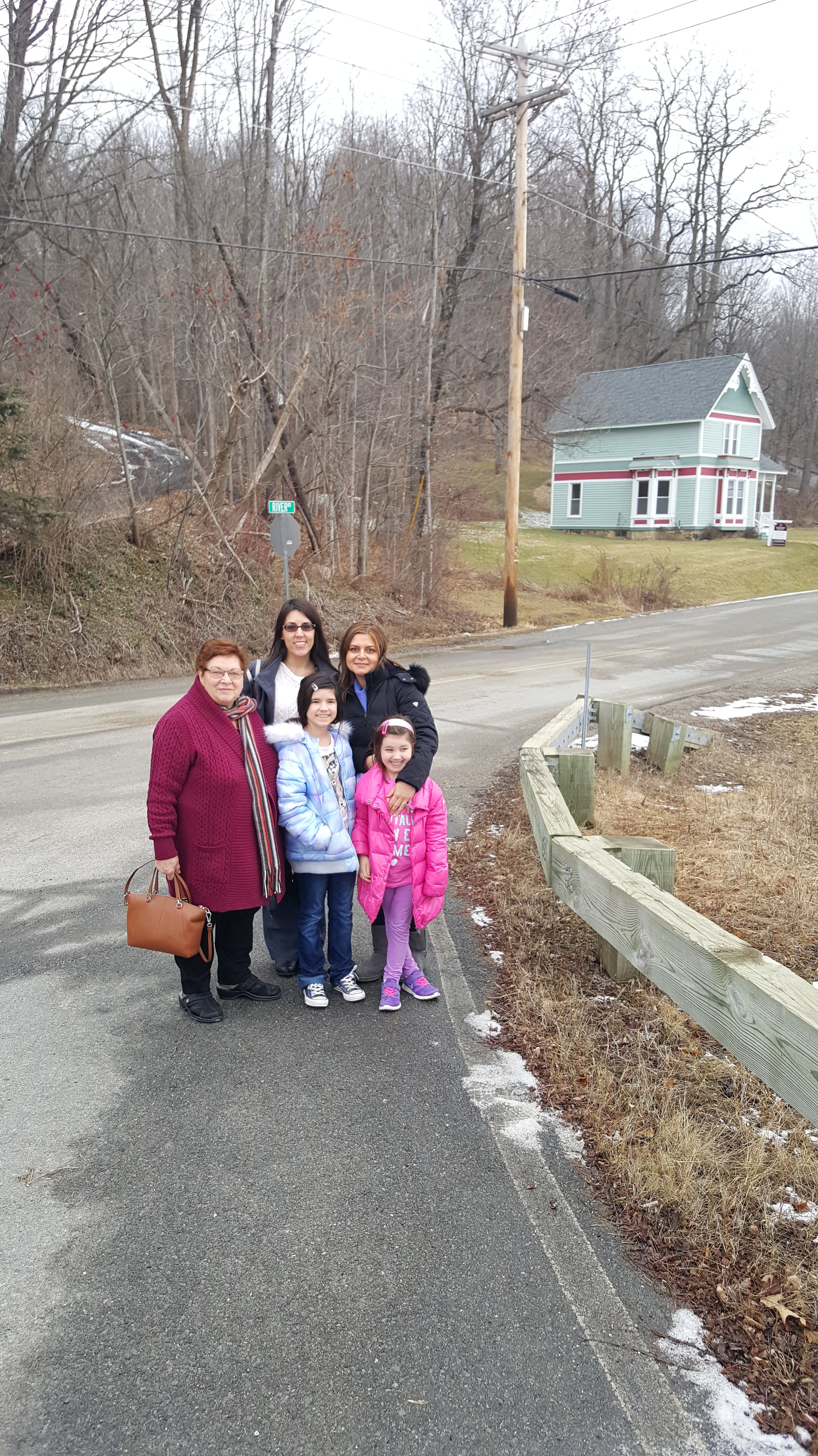
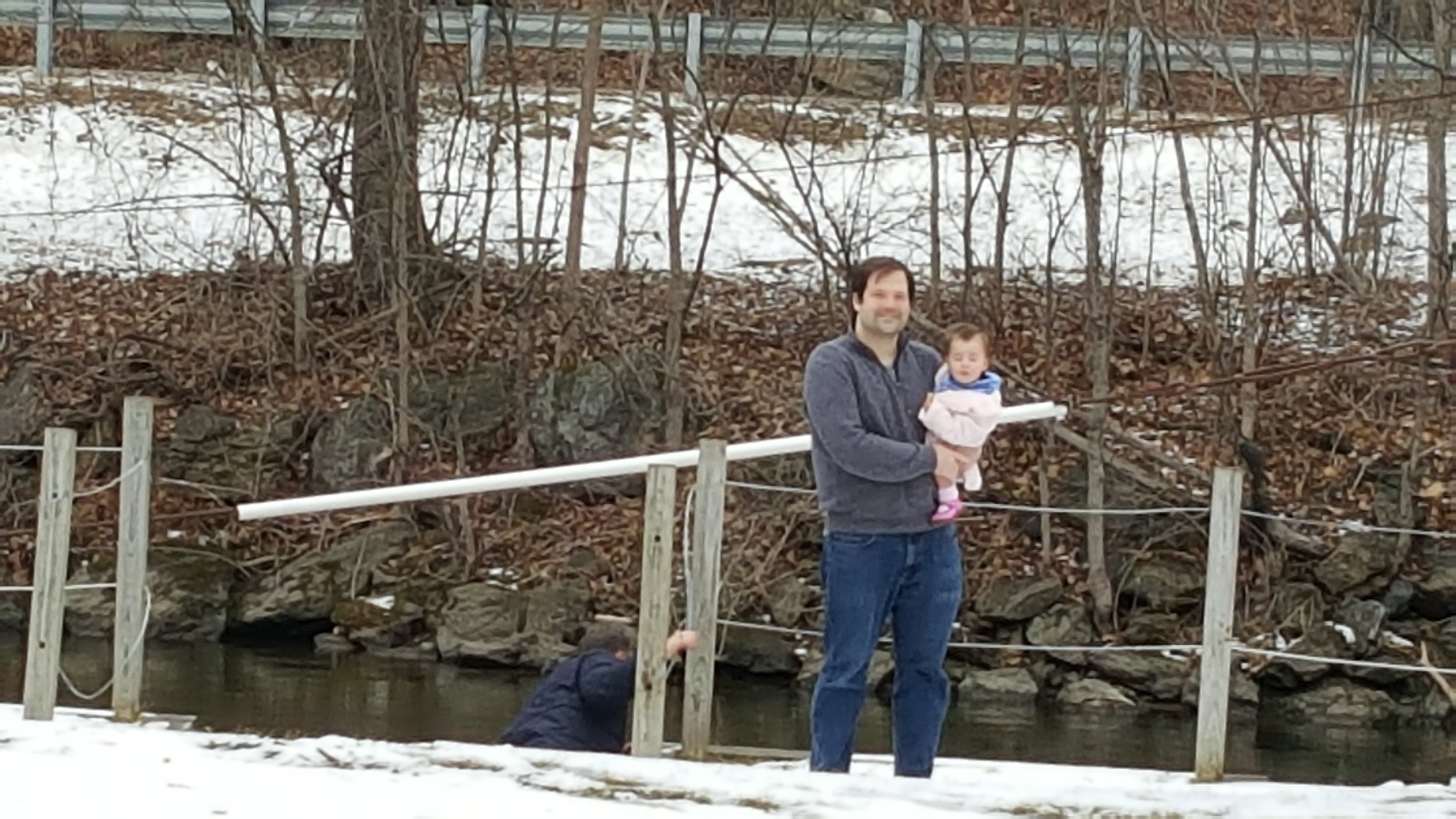
The entire crew crossed the bridge by foot and the girls enjoyed seeing the inside workings of the wood supports. Amada pointed out a sign which read, "25 Dollar Fine for Driving on This Bridge Faster than a Walk", and I explained to her this was the time of horse buggies. As you can see in the photos above, the Buskrik has a winding road surrounded by picturesque looking homes and provides a beautiful backdrop for photos. As one kayaker described the scene, "The bridges rose from the landscape almost as naturally as the trees surrounding them." (Bailey,TimesUnion article, 2015). It may be a beautiful experience to kayak this river and take in the view of the bridges from below.
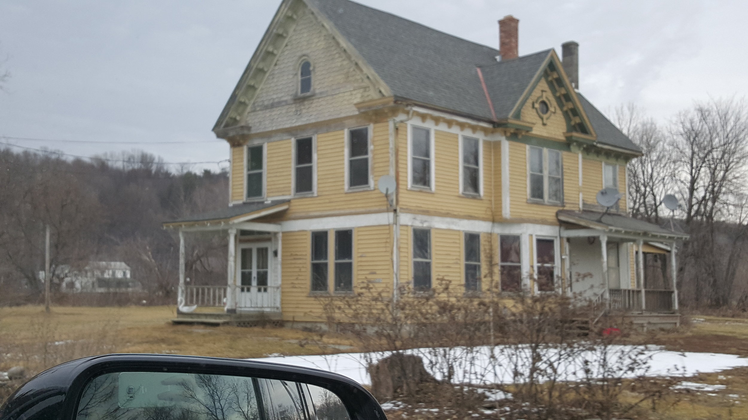
You may also notice old Victorian-style homes, surrounded by towering maple, willow and elm trees. During the winter, the snow drapes over them and creates a gray cloud that highlights the expansiveness of the open countryside, but I am sure in the fall the colors would be beautiful. There are many antique shops along this route as well, and many have very reasonable prices, so leave some time to stop.

The next bridge was the Rexleigh, built in 1874. Salem was a small town, but the bridge is indicative of a time when the town’s economy was strong with the ushering in of the railroad era (GEotourism Mapguide, National Geographic 2016). The Rexleigh reflects the transition between wooden and iron bridge structures of the 19th and 20th centuries, and is unique because it has “iron shoes” fitted with timber into iron rods and is one of ten bridges still standing in the Northeast, using the “Howe Truss” design (Town of Salem, 2015).
The Rexleigh is also amazing because you can see an abandoned four story stone structure in the same view as the bridge. Some investigating suggests that this structure provides major historical narratives of Salem's history. This stone structure appears to have survived for several decades, and a bit of research suggests that it was originally the site of a Grist (grain) mill built in 1795 aided by Revolutionary War General John Williams (Salem Historical Committee, The Salem book, Volume 2). The country’s first grist mills were built in this area of the Northeast, so it is interesting to see how a structure that was once so important in its day, now stands deteriorating on the river side as a reminder of a bygone era.
The mill was later used for various industries as the town prospered, including the manufacture of cement, the site of the Manhattan Shirt Company mill, a marble mill shipping cut marble to Chicago, and even a hippie commune in the 70’s. (Lakes to Locks Passage: The Great Northeast, GEotourism Mapguide, National Geographic 2016).
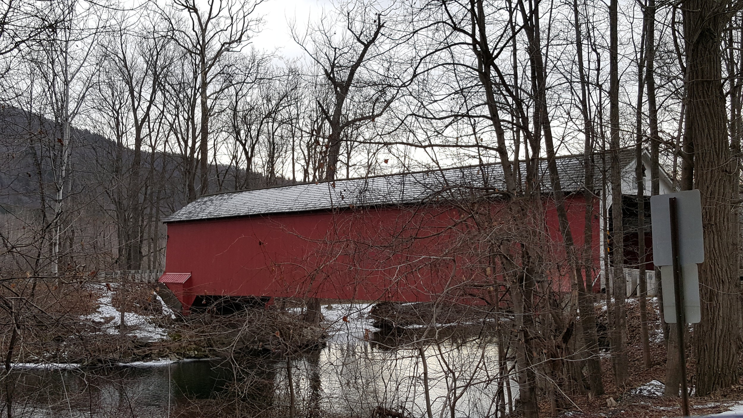
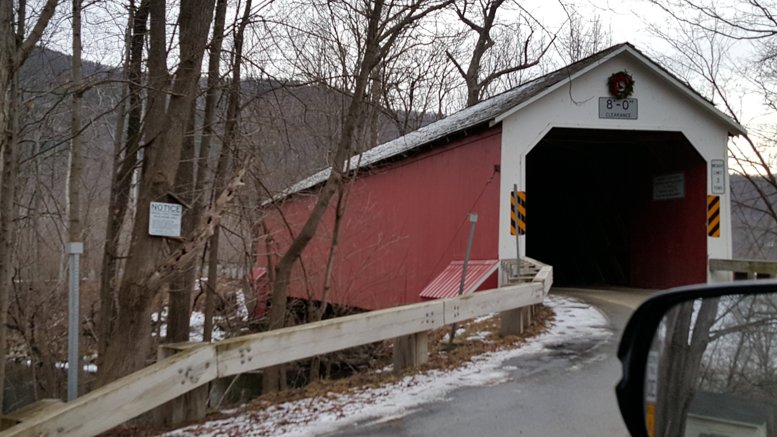
The third bridge we visited was the Eagleville, also in Salem, NY. The natural view surrounding the Eagleville Bridge is amazing. The bridge is flanked by towering trees and you can clearly see the river down below. This bridge crosses the Battenkill river which flows between Vermont and New York and is regarded for its natural beauty.
Reading The Battenkill: An Intimate Portrait of a Great Trout River, I discover that there is another covered bridge in West Arlington, VT near the New York state border that also crosses the Battenkill which is worth a visit. The author describes the scene of people visiting this covered bridge for the first time,
"My guests invariably remark that the scene looks like something out of a Norman Rockwell painting, sweetly sentimental but too good to be true. It is something out of Rockwell, I answer, while pointing out the late artist's home and studio only a few hundred feet from the covered bridge. . . . If our tour continues downstream through the rolling farmscapes of Salem, Jackson, Easton, and Greenwich, New York. . . the scenery does indeed look just like many of the late artist's bucolic primitives. . ." -John Merwin, The Battenkill: An Intimate Portrait of a Great Trout River.
A Brief History of Covered Bridges
The history of covered bridges in America is an interesting one; these bridges were born out of economic necessity after the Revolutionary War, yet they have a certain level of artistry that makes them pieces of pragmatic art in rural landscapes. Covered bridges are a prime example of American ingenuity. According to Smithsonian, bridge making began as a craft and developed into an exact science over time (Smithsonian & Natural Park Service 2005). They illustrate the important interplay between a variety of disciplines and talents in the process of discovery. When the girls reflect on this trip when they are older, I hope they realize that whatever career path they choose, anything that drives their passion to be creative is equally important from a historical perspective. I also enjoyed that this trip exposed them to aspects of engineering from an early age, as I don't remember myself as a child being exposed to it.
According to Smithsonian, "of the 10,000 or so covered bridges that once graced the American landscape, fewer than 800, scattered across 29 states, remain."(2005). Today, these bridges are seen as historic pieces and fortunately, were added to the National Register of Historic places in the late 60's and early 70's before disappearing completely. Although many were lost, I am glad my children are able to experience this type of living history. A museum would not be able to replicate the experience of seeing these bridges in situ.
Before their existence, ferries were required to transport goods and most of these enabled merchant monopolies that could slow economic growth in small villages and towns (Hedges, 6 Things You Must Know About Covered Bridges). Bridges were covered to prevent decay, prolonging the life to the underlying wood structure (Smithsonian & National Park Service 2005). As time went on, more attention was given to the aesthetics and also to the underlying trusses, as engineering methods diversified and improved (TDOT 2016). Around the world, American bridges were admired for their length and elegant engineering and people traveled great distances to see them (Smithsonian & National Park Service 2005). Covered American bridges spanned great lengths with strength and efficiency (Smithsonian 2005). Perhaps one notable example was the Waterford Bridge, built in 1804 by Theodore Burr in Saratoga county, NY; it was the first to span the entire Hudson River and surprisingly, held up for 105 years (US Dept of Transportation, FHA, 2015). You will hear Burr's name mentioned if you pay attention to architectural history.
In many ways, covered bridges are symbolic of a very different America, one that existed before the age of iron and steel. The ushering in of new technologies and rapid changes to American production after the civil war, led to the decline of this idyllic life, and with it things like covered bridges were replaced by more modern technologies necessary for a faster-paced life with trains and automobiles.
Other Places of Interest
If you are doing this route in warmer months, you may want to leave time to see the Shushan Covered Bridge Museum, housed in an actual covered bridge also along the route. It includes a one-room school house, farm equipment and admission is free, while donations are appreciated by the preservation society.
When you get hungry, check out the Madison Brewing company on Main St in Bennington, VT; they have a good selection of dark beers and decent burgers. Across the street, Angela and I visited a small antique shop. There are several cute shops and the Bennington museum is located on this street. The girls really enjoyed seeing old toys from the 1970’s in the antique shop. The owner showed us various items, but what we most liked were the old lanterns and oil lamps. He actually had an oil lamp that once was fitted on a car. I ended up buying an old fashioned kerosene lantern and he explained to me that I could buy some kerosene at Walmart and still turn it on. It is sitting on my desk now, as a reminder of our travels; it is also a reminder that in order to look forward, sometimes the past can help light the way. Here is a picture:

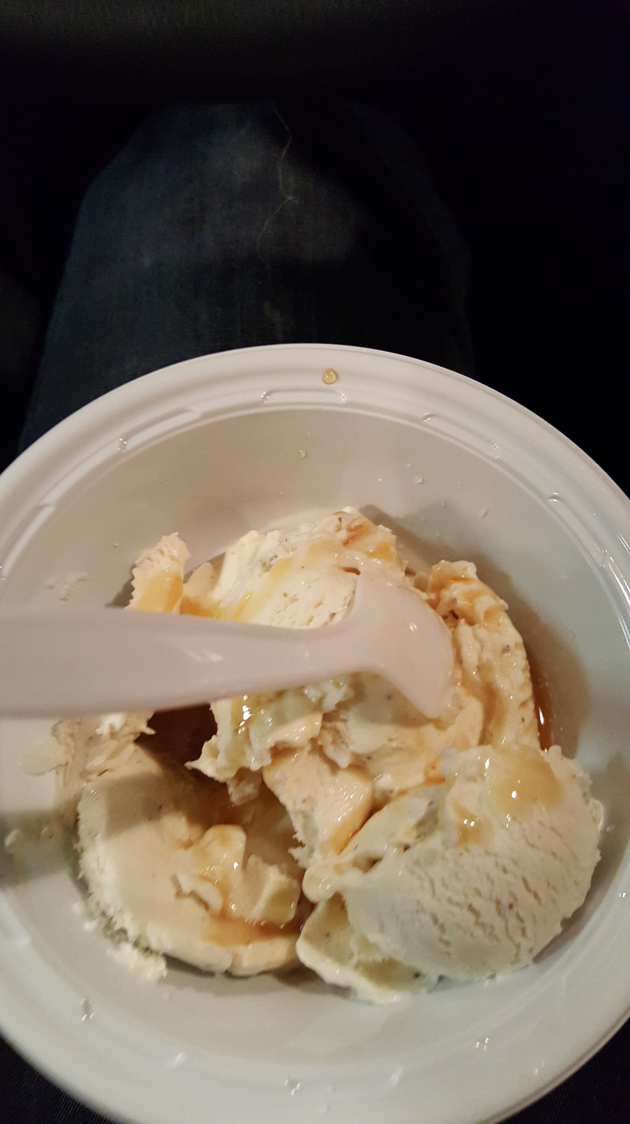
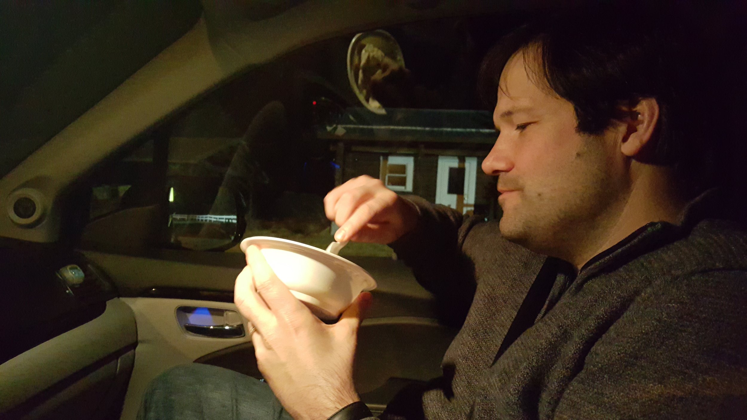
On the way home, we found a drive-thru coffee shop that served ice cream called Lumberjacks on Route 7. The unique thing about this place is that they served maple syrup, yes real maple syrup in the coffee lattes and mochas, and even on vanilla ice cream. You can even buy maple syrup in the drive-thru window. It was pure heaven. I highly recommend a visit to this spot, I think this is the way to end the drive.


If you really want to get into the specific intricacies of the bridge design, you can look up at the truss patterns, you can read about that here before you visit to see if you can identify them.
Logistics: Read below or see the brochure here:
BUSKIRK BRIDGE NY-58-04
The bridge is located between Rensselaer and Washington Counties in the Town of Hoosic-White Creek. This bridge is sometimes referred to as NY-42-02. On County Route 59 north of County Route 67, it is over the Hoosic River, a single span of 165 feet of Howe truss (NY State Covered Bridge Society).
Directions to the bridge:
Buskirk is located on State Route 67, west of Eaglebridge. Take Washington County Route 103 from State Route 67 north to the bridge in Buskirk.
REXLEIGH BRIDGE NY-58-03
Rexleigh Bridge was originally constructed in 1874 by Reuben Comins (Contractor & Builder) and George Wadsworth (Carpenter). It is listed on the National Register of Historic Places, effective March 8, 1978.
It is located in the Town of Jackson-Salem, east of State Route 22 on Rexleigh Road. It is over the Battenkill, a single span of 107 feet of Howe truss.
Directions to the bridge:
From Salem, take State Route 22 south for 2 miles, turn left onto Rexleigh Road and proceed 1.5 miles to the bridge.
EAGLEVILLE BRIDGE NY-58-01
Eagleville Bridge was originally constructed in 1858 by Ephraim W. Clapp, it is listed on the National Register of Historic Places as of March 8, 1978.
The bridge is located in the Town of Jackson-Salem, west of State Route 313 at Eagleville. It is over the Battenkill, a single span of 100 feet of Town truss.
Directions to the bridge:
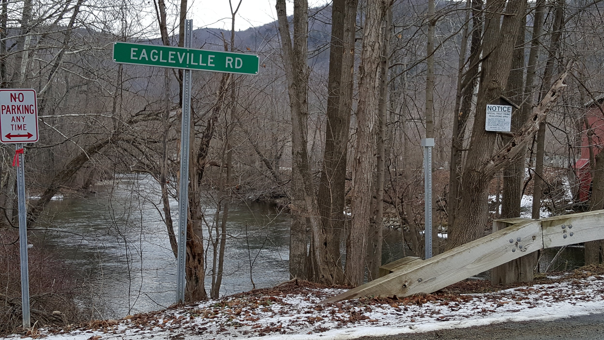
From Cambridge at the intersection of State Route 22 and State Route 313, take State Route 313 toward Vermont for 6 miles. Turn left onto Eagleville Road to the bridge.
For more info visit, http://www.salem-ny.com/interest.html or see the brochure for a map.
Links:
http://www.salem-ny.com/interest.html
http://www.lakestolocks.org/content/salem/ltl956623E627EDF8984
https://www.fhwa.dot.gov/infrastructure/back0804.cfm
https://books.google.com/books?id=14PvCgAAQBAJ&pg=PT16&lpg=PT16&dq=ferry+monopoly+before+covered+bridges&source=bl&ots=Y8s0MhNdh1&sig=up-paSJuLGXgTeeH6lprB7hLKnA&hl=en&sa=X&ved=0ahUKEwjasdSMmofLAhWDHT4KHeuNB0EQ6AEIIjAB#v=onepage&q=ferry%20monopoly%20before%20covered%20bridges&f=false
http://www.ebooksread.com/authors-eng/ny-salem-historical-committee-salem/the-salem-book--records-of-the-past-and-glimpses-of-the-present-volume-2-ela/page-12-the-salem-book--records-of-the-past-and-glimpses-of-the-present-volume-2-ela.shtml
http://www.sites.si.edu/exhibitions/Covered%20Bridges.pdf
Delony, Eric 1994 The Golden Age. Invention and Technology. Fall:8-22. - See more at: https://www.tn.gov/tdot/article/bridges-historybridges#sthash.GDVcPEWr.dpuf